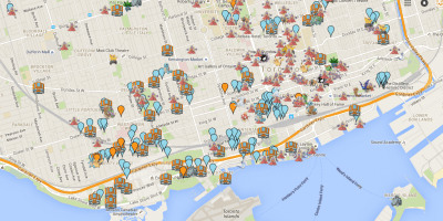
If the Pokémon GO craze has taught you anything about Mapping, it’s that maps can get people moving to interact with their environment like never before. If you’ve seen the game, the maps are pretty darn accurate and are in real time.

How did these folks behind the game do it, how are the maps so accurate? Well, for one thing, the creators all started out working on the platform that hosts Google Maps prior to releasing Pokemon. Secondly, They used data from other games they’d previously released such as Ingress to determine high traffic areas where they strategically placed Pokéstops. Pokéstops are usually gyms and public art.
If you think of it, Pokémon is a real-time mapping platform, with a layer for gaming. This opens huge doors for other apps integrating Open Street Maps and other real-time maps to make interactive platforms. Apps like Über Eats, PadMapper and RocketMan can offer refreshed geolocation display from updated real-time databases, making them more accurate and effective.
Marcus
